Wildisrael is a PPGIS (public participation GIS) for biodiversity. It is providing a standard frame for managing wildlife data that has not been collected in the course of a research, those allowing the use of public data for obtaining a continuous and widespread sampling
Thousands of wildlife records, which are submitted by our users, are displayed in an interactive map that allows the learning of distribution and occurrence of animal species. New reports are added on a daily basis.
Registered users are invited to browse the map and download a datasheet of their records, in a format (.xls file) which is compatible with standard GIS software.

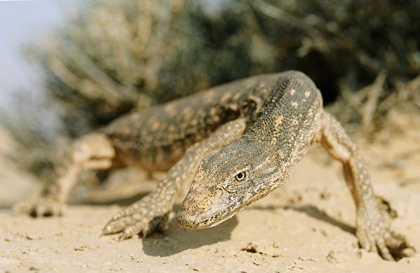
כח אפור, Eyal Vanunu Desert Monitor , Varanus Griseus ©
This method of data sampling is not meant to be a replacement for the traditional research, but it has several advantages over academic research. It has no time or budget limits and it is not restricted to certain areas. The ability to continuously monitor broad landscapes has produced, for the first time, a reliable and up-to-date "distribution" (PO records) map of the Reptiles and Amphibians of Israel. In addition, a few exceptional, new and interesting discoveries have been noted, and they are now visible to all.
It is tempting to focus and write here about rare bats or dragonfly species. However, the most significant innovation that Wildisrael has brought is not the zoological findings, but rather the public accessibility it gives for that information.
It is a nonprofit site, built and run by students, from education and life science faculties belongs to several institutions, assuming that commissions for selling books and bat detectors will finance it.
__________
Wildlife knows no boundaries
Nature holds scientific and cultural assets which we should not keep as private possession, if we wish to protect it. We are encouraging all naturalists in the area to join us, use the system for managing their data and share it
__________
 .
.
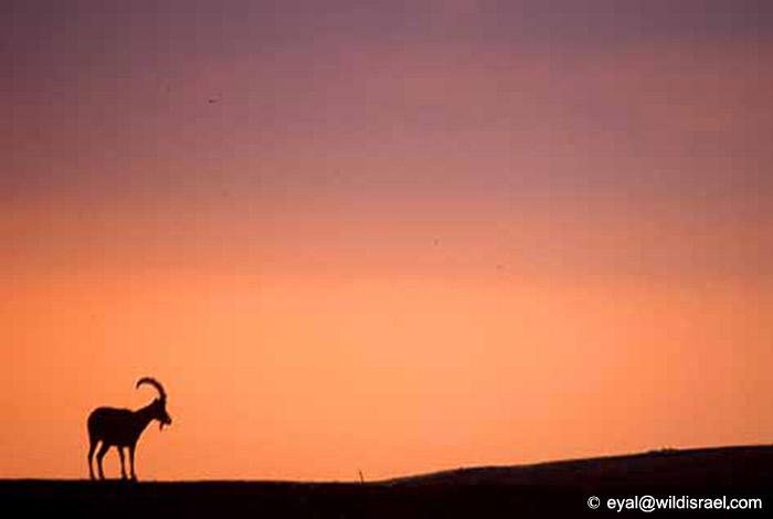
יעל נובי, Eyal Vanunu Nubian ibex ,Capra nubiana ©

